
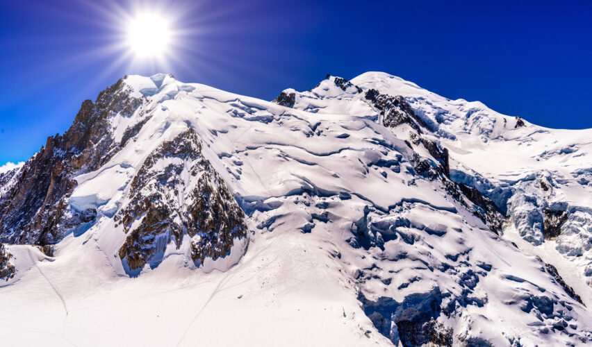
Anyone teaching a child the height of Europe’s best-known mountain this autumn should say “about 4,807 metres” and leave it there. The summit of Mont Blanc is now more than a metre lower than it was a year ago, though almost two metres higher than in 2023.
Surveyors from the Haute-Savoie Departmental Chamber of Surveyors carried out the new calculations on 17 September. They announced the result on Wednesday in Saint-Gervais-Mont-Blanc. The peak stands at 4,807.47 metres (15,772.5 feet), according to AFP.
The mountain has not moved. What is measured is the top of the snow and ice cap, not the rock. The height changes with the build-up and redistribution of snow, shaped by wind, precipitation, temperature and sunshine. The bare granite below is far less changeable. According to the trade site Actu Montagne, the rocky summit was measured at 4,789.40 metres, with roughly 24 metres of ice between it and the top.
The recent run of figures swings about. Actu Montagne lists 4,807.81 metres in 2021, 4,805.59 in 2023, then 4,808.51 in 2024 and 4,808.76 in 2025. The 2024 and 2025 values were not made public at the time. Against that series, this year’s reading is about 1.3 metres below 2025. A regional radio report put the drop at roughly a metre on both 2025 and 2024.
The record high is 4,810.90 metres, set in 2007. This year’s figure is 27 centimetres above the historic 1894 measurement by the Vallot cousins, the survey that long served as the official reference.
The surveyors, who have measured the summit since 2001, are cautious about reading climate into one number. Jean des Garets, president of the chamber, said the summit “is constantly shifting”. Glaciologist Luc Moreau told the press conference that the summit has “not been significantly altered by climate change” for the time being. The surveyors did say the 25-year series trends downward.
That sits awkwardly beside what is happening lower down. French broadcaster TF1 reported that scientists are worried because the summit height holds steady while the glaciers are changing significantly. This year the team also used ground-penetrating radar to map the ice cap and the rocky summit beneath it, to sharpen future readings.
The chamber says it would need about 50 years of measurements to establish a lasting trend. The current series covers only half of that. Whether the summit’s long-run decline is a climate signal is not yet known.